Historic Maps
Interactive and historic maps used throughout this site.
Interactive maps on this site
Early maps
In order for them to be readable, some of these maps are extremely large. Click a thumbnail to open the full-size image.
An excellent source of original SA Hundred Maps is on Flickr — State Library of South Australia.
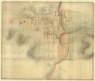
Courtesy of SLSA: b19303886
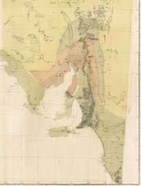
Courtesy of NLA Ref:43088824
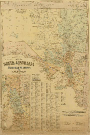
by H E C Robinson Ltd; courtesy of NLA Ref:233141263
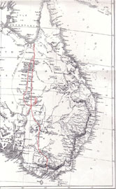
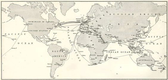
Courtesy of Gutenberg Maps & Charts
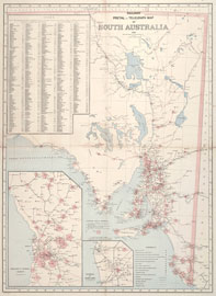
Courtesy of the National Library of Australia
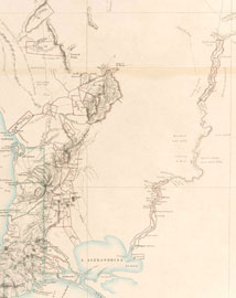
Courtesy of the National Library of Australia
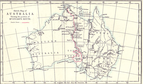
Courtesy of University of Adelaide
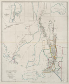
Courtesy of NLA Trove
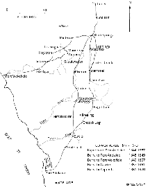
Courtesy of the Dept of Mines & Energy